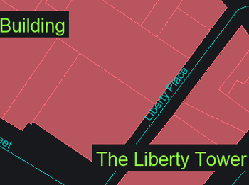
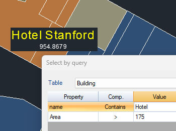
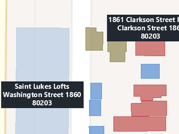
Spatial Manager™ for GstarCAD allows you to create text labels in the drawing from selected objects on the drawing or map. The selection of objects can be diverse: manual, by query or by table.
Within the labeling parameters you can choose options such as the field of the table to be labeled, labeling style (font type, text height, justification and text rotation, ...), as well as the destination layer and applying random colors to new layers.
Discover the full potential of this set of tools designed to enhance GIS data integration and editing within GstarCAD.
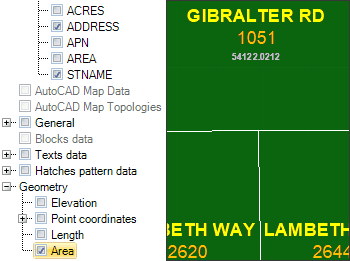
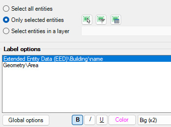
You can select which object attached Table/Data Field is the one you want to use as a source to label it.
When labeling you can set values such as font type, text height, justification or rotation. You can also mask the texts to distinguish them from other elements of the drawing.
You can select all objects in the drawing, or select them manually, by query, by table or by layer.
You can select as many alphanumeric fields and element properties as you wish. In addition you can set a unique style for each of these fields.
Divides any selected polygon or closed polyline into sequential slices whose areas you explicitly define (absolute values) or express as percentages of the original. You first indicate the orientation by... more
Splits a polygon or closed polyline into a specified number of equal area parts along lines aligned with a chosen direction. This approach ensures that each resulting section has the... more
Splits a polygon or closed polyline into a specified number of equidistant stripes (equal width bands) aligned with a chosen direction. Each stripe has the same width measured perpendicular to... more
Quickly switch polylines between 2D and 3D formats directly in your drawing environment with ease and flexibility. The tool maintains accuracy and consistency throughout the process, intelligently retaining essential properties... more