Discover the full potential of this set of tools designed to enhance GIS data integration and editing within BricsCAD.
Selecting objects in drawings by simple or compound queries. Complete queries or query to the current selection and add the result to the current selection. Selections based on a specific attached table. Zoom into the selected objects.
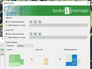
Select objects in the drawing according to the result of advanced simple or compound spatial queries by the following geometric operations: Intersects, Touches, Within, Contains, Disjoint, Overlaps and Crosses
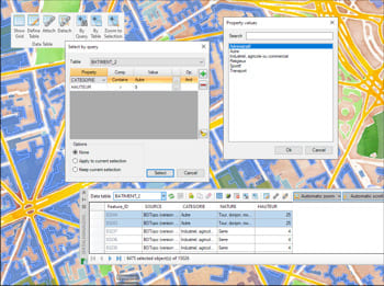
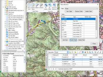
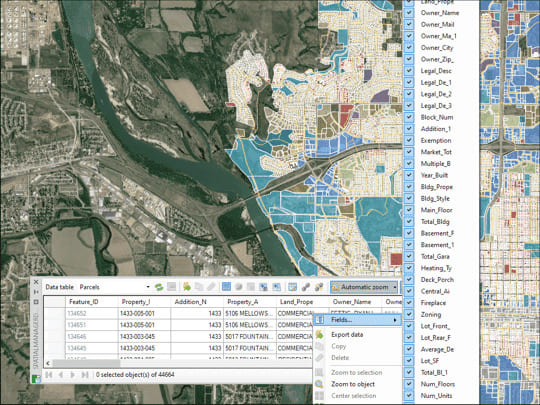
Multiple tables with various fields can be simultaneously attached to objects. This capability offers a highly organized and structured method for managing data. This approach allows for the use of... more
Reverse geocoding is the process of converting geographic coordinates (latitude and longitude) into a human-readable address or place name. This is typically done using a reverse geocoding service or API,... more
GML (Geography Markup Language) is an XML-based language created by the Open Geospatial Consortium (OGC) for modeling, transporting, and storing geographic information. GML files classify elements by type, Spatial Manager... more
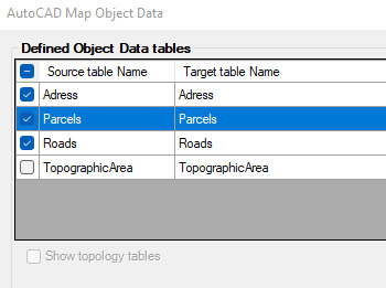
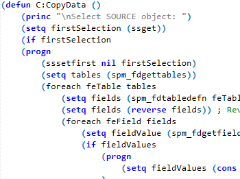
Convert AutoCAD Map object data to Extended Entity Data (EDD) and store as Spatial Manager native tables. Then work directly with them or export to multiple common GIS formats for... more