Discover the full potential of this set of tools designed to enhance GIS data integration and editing within .
Points to Polygon
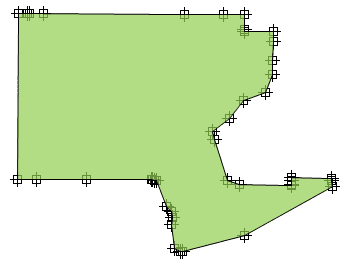
Creates closed polygon geometries by connecting individual points in sequence. This tool is particularly useful when reconstructing area features from boundary points, such as land plots or enclosures. Points can be grouped by a specified data field, enabling the generation of multiple polygons based on categorized point sets.
Polygon Union
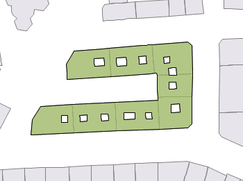
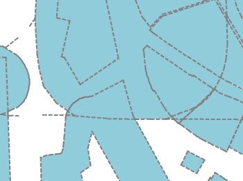
Combines overlapping or adjacent polygons into a single, unified geometry. This tool simplifies complex datasets by removing internal boundaries and merging connected areas. It is essential for consolidating features such as land parcels, administrative zones, or habitat regions, ensuring cleaner and more efficient spatial data.
