Serviços de mapas predefinidos em AutoCAD
Melhorada em V10Acesse mapas de fundo diversificados e de alta qualidade de múltiplos provedores
Descubra todo o potencial deste conjunto de ferramentas criado para aprimorar a integração e a edição de dados GIS dentro do AutoCAD.
Google Maps
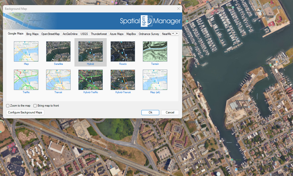
Bing Maps

OpenStreetMap
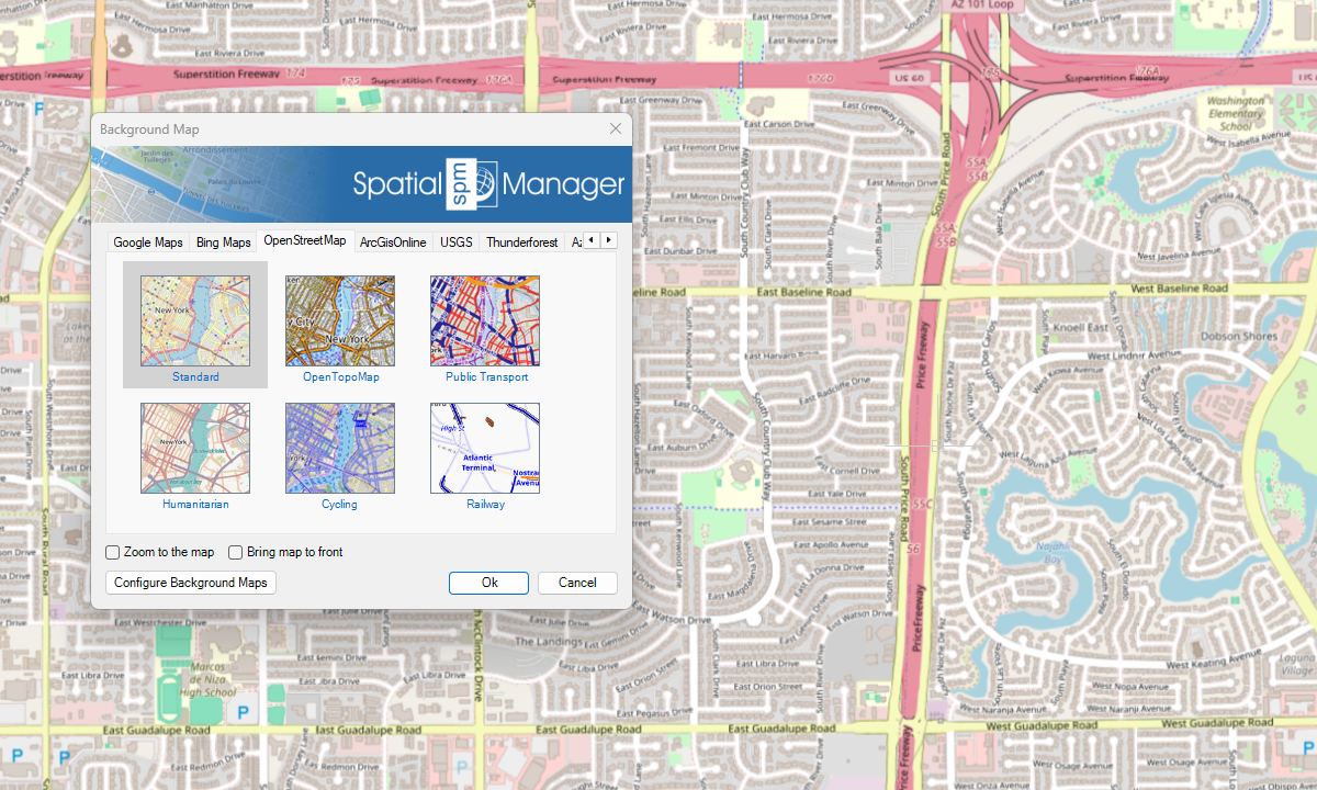
ArcGIS

USGS

Azure Maps
Nova em V10
Outros

Notas
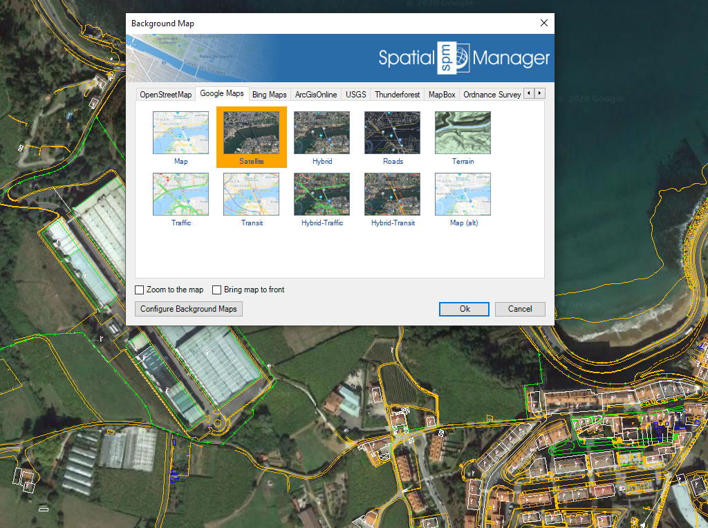
Controle e utilize mapas de fundo com facilidade durante o trabalho ou projeto
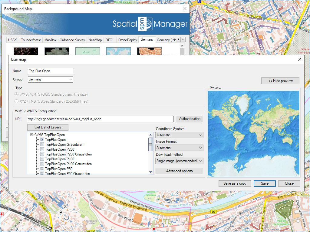
Configure novos Mapas personalizados inserindo um mínimo de dados e partilhe a configuração com outros utilizadores
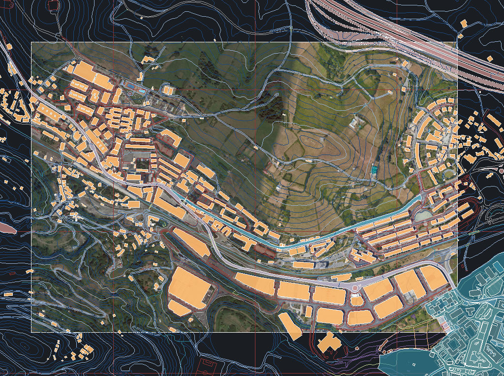
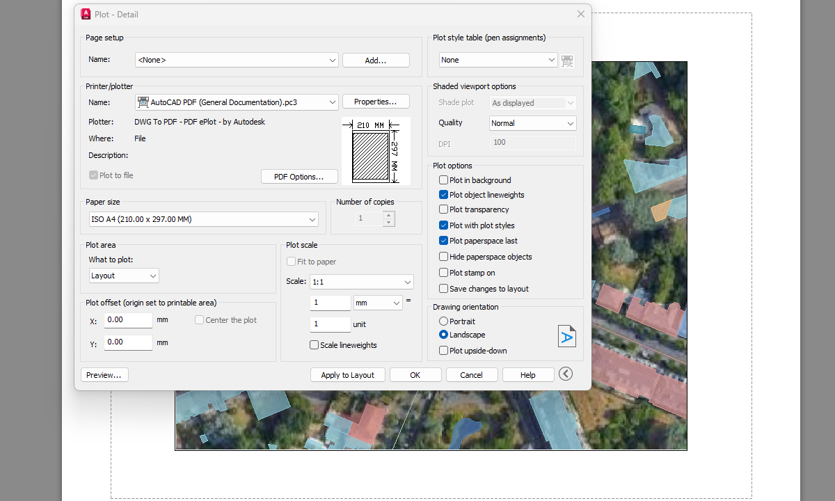
Capture imagens estáticas do mapa de fundo e insira-as no desenho como imagens raster (PNG, JPG, TIF) ou objetos OLE. As capturas podem ser georreferenciadas com um arquivo World File, e você pode escolher o nível de detalhe da imagem. Ideal para apresentações, impressão ou uso externo em SIG.
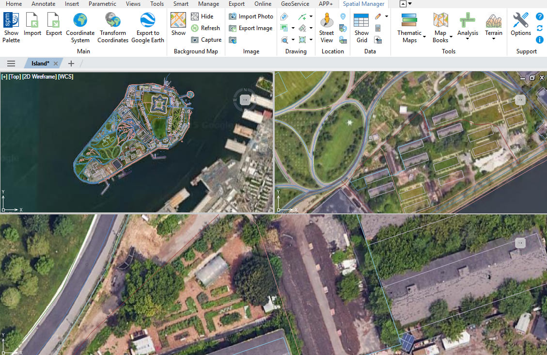
Vários mapas e visualizações
Melhorada em V10Exiba e gerencie vários mapas de fundo em diferentes vistas e viewports

Background maps can be displayed simultaneously in multiple views, including both model space and layout viewports. Whenever changes occur, the background maps are automatically refreshed so that they remain accurate... more

With Spatial Manager, you can load multiple maps from different sources and compose an advanced view. Arrange their display priority and control their visibility independently, making it easier than ever... more

Mapflow is a cutting-edge geospatial intelligence platform leveraging artificial intelligence to automatically identify and classify geographic objects–such as buildings, roads, and forested areas–within satellite and aerial imagery. Mapflow enables high-precision... more

The Farm Service Agency of the U.S. Department of Agriculture (USDA) provides web services for accessing the National Agriculture Imagery Program (NAIP). Spatial Manager products provide an easy way to... more