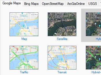
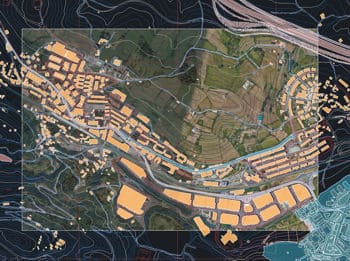
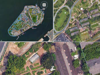
Descubra todo o potencial deste conjunto de ferramentas criado para aprimorar a integração e a edição de dados GIS dentro do AutoCAD.
Mapas do usuário
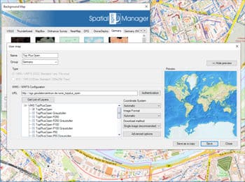
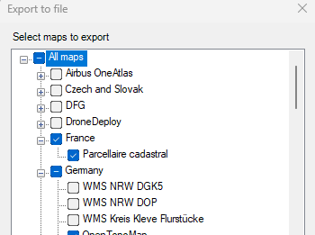
Configurar novos Grupos e novos Mapas, introduzindo um mínimo de dados. Existem também ferramentas para editar os dados de configuração dos Mapas ou removê-los da lista assim como exportar e importar definições de mapas personalizados para compartilhar com outros usuários.
Conectar a serviços de mapas personalizados
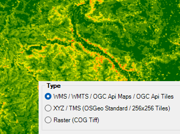
Conecte-se ao seu provedor local de mapas e acesse os tipos de fontes de dados mais comuns:
- Mapas WMS/OGC API: Serviço de Mapas Web
- Azulejos WMTS/OGC API: Serviço de Azulejos de Mapas Web
- XYZ/TMS: Serviço Padrão de Azulejos de Mapas
- COG Tiff: Geo Tiff Otimizado para Nuvem
