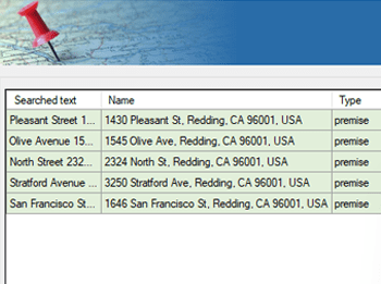
Recupere informações de endereços postais a partir de objetos espaciais existentes.
Ele extrai detalhes como rua, município e código postal, que podem ser adicionados como dados de atributos às feições selecionadas, enriquecendo seu conjunto de dados espacial com informações baseadas na localização.
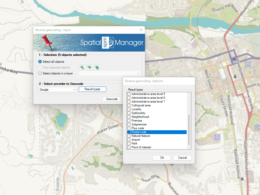
Reverse geocoding is the process of converting geographic coordinates (latitude and longitude) into a human-readable address or place name. This is typically done using a reverse geocoding service or API,... more
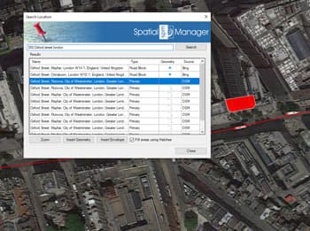
Direct geocoding is the process of converting an address or a place name into geographic coordinates (latitude and longitude). This is typically done using a geocoding service or API, which... more
We are all increasingly familiar to locate places on a map using Google Maps or similar services, but what about being able to do it directly on our drawings or... more
Within this interesting example we show how to include, on an existing Map of a city, locations from a list of addresses as points on the Map, using Google Maps... more