Projetar as camadas nos mapas
Projeção imediata dos elementos das camadas de acordo com seus CRSs e o CRS do mapa. Se algum destes parâmetros for alterado, o mapa é atualizado e a nova projeção é automaticamente visualizada no espaço de trabalho
Projetar as camadas nos mapas
Quaisquer alterações nesses sistemas de coordenadas acionam atualizações automáticas do mapa, refletindo instantaneamente as novas projeções no espaço de trabalho para garantir precisão espacial contínua.
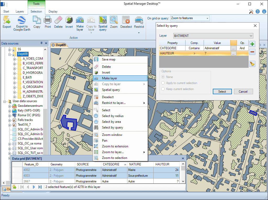
Novas camadas em um mapa para exportar, enfatizar, etc. elementos de um mapa. As novas camadas podem ser guardadas dentro dos mapas ou exportadas para origens externos e podem incluir elementos de várias camadas existentes. Conversão de camadas só de leitura em camadas editáveis

Criação de novas camadas com base em outra camada, de acordo com os valores de um campo na camada original, para discriminação temática ou de dados
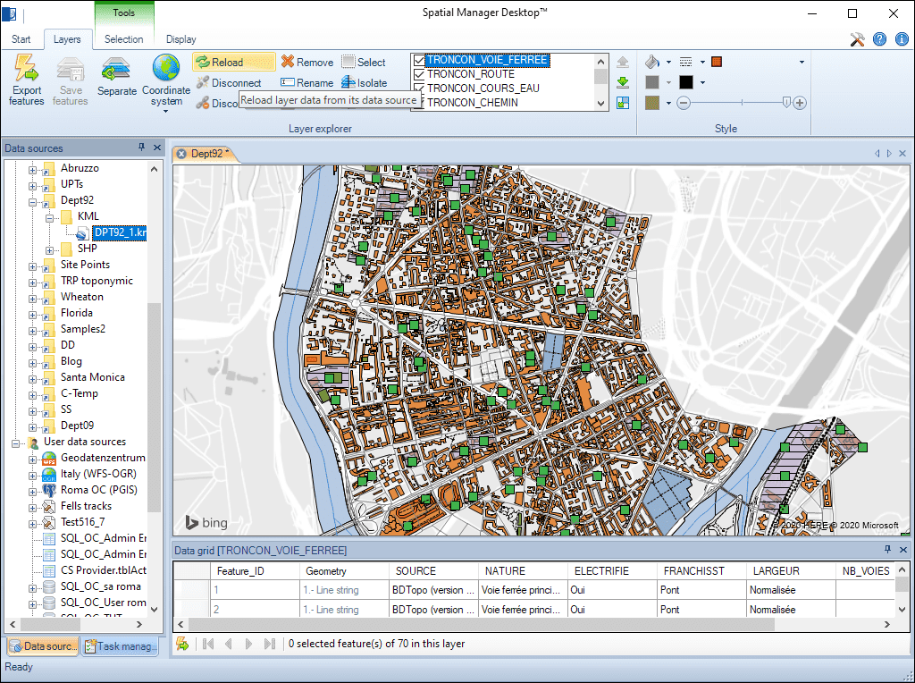
Combinação de camadas externas e internas dentro de um mapa. As camadas externas são carregadas a partir de um origem espacial externo. As camadas internas (ou incrustadas no mapa) são salvas dentro dos mapas usando uma estrutura SQLite

Conversão de camadas externas em camadas internas, desconectando-as de su origem de dados. A desconexão de todas as camadas permite guardar mapas autônomos

Cópia de elementos de várias camadas em outra camada para fundi-las. Exportação desta camada para obter uma tabela externa combinada

Scenario #1: We need to quickly check which the appropriate file is, between three Shapefiles (SHP) files that include the same data but whose spatial geometric information is different Spatial Manager™ software is... more

One of the main problems of sharing maps with other users, and to be able to send a compact information, is the need to likewise share the data sources of the... more

When working with external Layers, which are loaded into a Map by reading spatial data sources, one of the usual problems is the modification (change of name, change of location,... more

Using base maps (roads, aerial, etc.) from imagery providers allows, not only the composition of more attractive Maps in mapping applications, but also the use of these base images as a practical... more