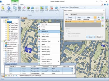
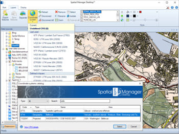
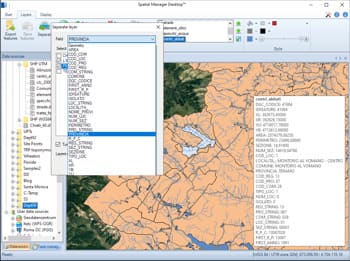
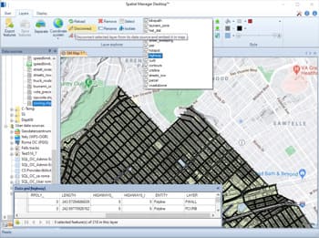
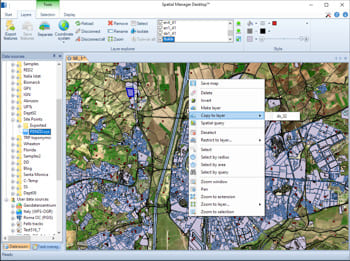
Spatial Manager Desktop™ ermöglicht das Zusammenführen externer Layer — geladen aus externen räumlichen Quellen — mit internen Layern, die in die Karte eingebettet sind.
Interne Layer werden direkt in der Karte unter Verwendung einer SQLite-Datenbankstruktur gespeichert, was eine nahtlose Integration und Verwaltung beider Datentypen innerhalb eines einzigen Projekts ermöglicht.
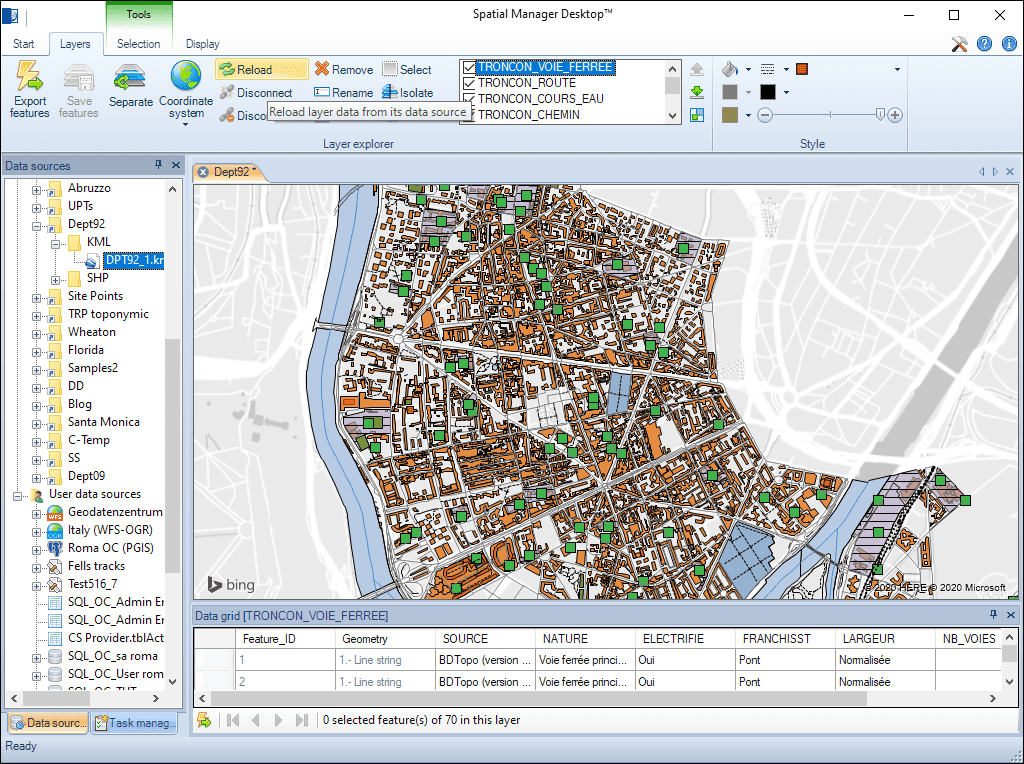
Scenario #1: We need to quickly check which the appropriate file is, between three Shapefiles (SHP) files that include the same data but whose spatial geometric information is differentSpatial Manager™ software... more
One of the main problems of sharing maps with other users, and to be able to send a compact information, is the need to likewise share the data sources of the... more
When working with external Layers, which are loaded into a Map by reading spatial data sources, one of the usual problems is the modification (change of name, change of location,... more
Using base maps (roads, aerial, etc.) from imagery providers allows, not only the composition of more attractive Maps in mapping applications, but also the use of these base images as a practical... more