Discover the full potential of this set of tools designed to enhance GIS data integration and editing within AutoCAD.
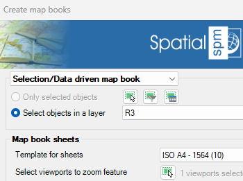
Map book data source
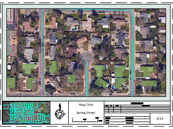
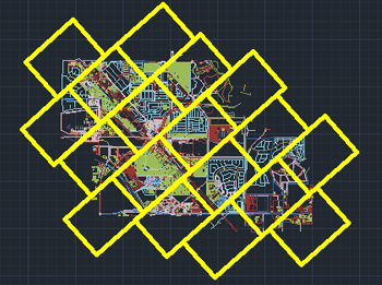
New in V10Automatically create layouts from a selection of objects or by generating a set of sheets with map book sheets tool.
Select template layout
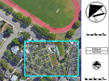
New in V10Select a layout and use it as a template to create atlas-like layouts. The view within each layout will be adjusted automatically based on the selected zoom mode (automatic, with margin, or centered without changing the scale).
Advanced options
New in V10By default, a layout is created for each selected object. However, when objects have attached data, it is possible to group them by field values. The grouping value can be inserted as text objects in the layout. Additionally, a global location map can be placed in another viewport within the layout.


