Data structure
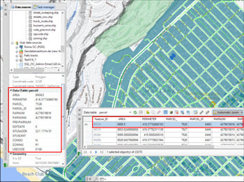
The data Tables can be automatically created and structured when importing elements from any data source, but the application includes all the tools that the users need to create new Tables and edit or delete existing Tables. When a Table is modified or deleted, all the objects attached to the Table will be automatically updated
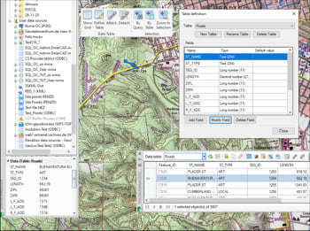
Tables edition
Create, edit or delete Fields in any existing table. You can assign a default value to any Field and select the type of data for the Field (Text, Integer, Date, etc.). As happens with the tables, if any alteration occurs in the Fields of a table, the application will automatically update all the attached objects
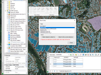
Objects management
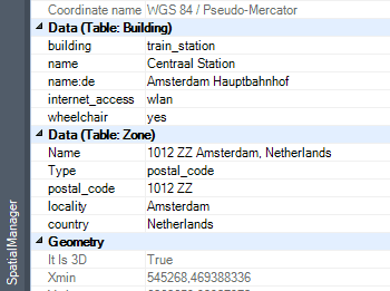
Automatic or manual Attachment of Objects to data tables, view and edit directly the field Values individually or for a selection of Objects, Detachment of Objects and Objects Selections based on a specific attached table. Direct access to Hyperlink fields from the application Palette
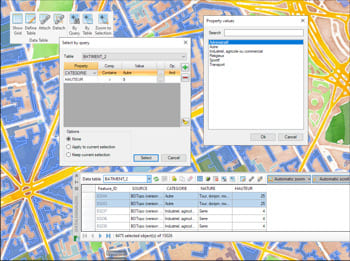
Queries
Selecting objects in drawings by simple or compound queries. Complete queries or query to the current selection and add the result to the current selection. Selections based on a specific attached table. Zoom into the selected objects
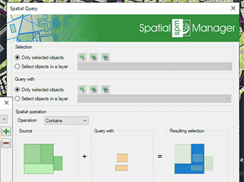
Spatial query selection
Select objects in the drawing according to the result of advanced simple or compound spatial queries by the following geometric operations':' Intersects, Touches, Within, Contains, Disjoint, Overlaps and Crosses
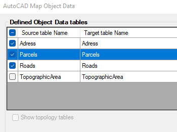
Import and convert data from AutoCAD Map format to AutoCAD Extended Entity Data (EDD). All object data will be accessible to use with Spatial Manager commands
Multiple tables with different fields can be attached to objects at the same time, offering the possibility of structuring the data
