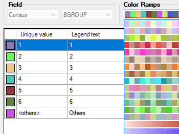
Crie seu próprio conjunto de regras ou selecione um estilo pré-definido. Os esquemas de cores e rampas de gradientes mais comuns já estão incorporados.
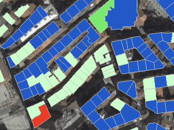
Para melhorar a visualização e identificação de objetos sobrepostos, os objetos fechados podem ser preenchidos com sombreados
Mapas temáticos e estilos persistentes
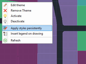
Nova em V10Uma vez definido um mapa temático, você pode aplicar o estilo escolhido de forma persistente em todo o seu desenho DWG.
Inserir legenda no desenho
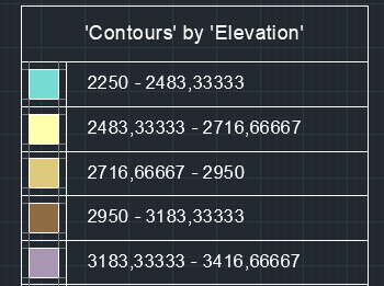
Nova em V10Insira uma legenda de mapa temático diretamente no desenho, facilitando a interpretação e comunicação do significado dos estilos aplicados. A legenda reflete as categorias ou faixas de valores usadas na apresentação do mapa


