Estas acciones pueden consistir en etiquetar los datos de objetos como textos, realizar cambios inteligentes de vista o efectuar una selección avanzada de objetos en el dibujo.
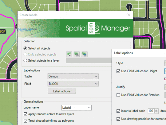
Etiquetagem de valores de dados de tabelas ligadas a objetos como Textos em GstarCAD
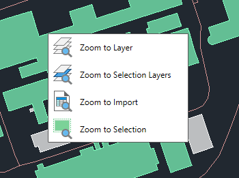
Zoom para os objetos nas camadas selecionadas, para os objetos nas camadas dos objetos selecionados, para os objetos resultantes do último processo de importação ou para os objetos selecionados
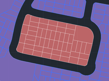
Selecione os objetos que não estão selecionados no desenho e desmarque os que estão selecionados
Spatial Manager have some utilities for working with terrains and elevations, one of them allows to search elevations for existing points. Doing some steps it is possible to create a... more
Google Earth internally works with meters as elevation units and this can be an obstacle when feet are the desired measurement units. This tutorial explains an easy workaround for viewing... more
This article explains how to start a drafting or design project using a Google Earth imagery base. It provides step-by-step instructions on how to overlay drawings, plans, or architectural projects... more
Rubber sheeting refers to a method in mapping and surveying where a map or spatial data is adjusted or “stretched” to align with a reference map or coordinate system. This... more