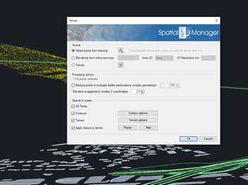
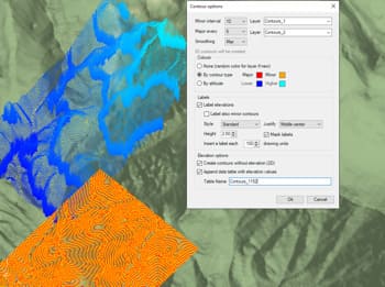
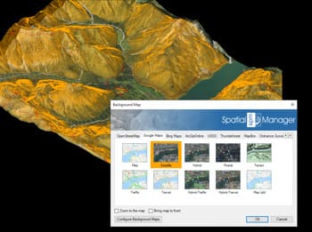
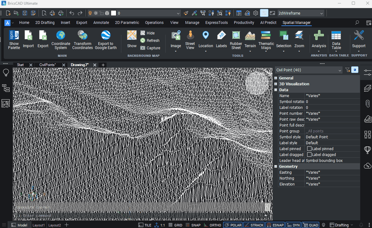
Com o Spatial Manager™ você pode gerar facilmente superfícies de terreno usando Pontos Civis do BricsCAD.
Esta funcionalidade simplifica e acelera seu fluxo de trabalho ao reconhecer automaticamente os dados de elevação dos grupos de pontos selecionados. O resultado é um modelo de superfície detalhado e preciso que pode ser usado para análises topográficas adicionais, tarefas de design ou como base para gerar curvas de nível e visualizações 3D — tudo isso sem sair do seu ambiente BricsCAD.
Spatial Manager have some utilities for working with terrains and elevations, one of them allows to search elevations for existing points. Doing some steps it is possible to create a... more
Spatial Manager (CAD versions) includes the option to Insert Nodes when importing objects such as Polylines or Polygons. These nodes can be created as Points or as Block Inserts (if... more
In order to enhance the visibility of Contour Labels, ‘Spatial Manager’ (CAD versions) now includes some new options which can also be applied to the object Labels while Importing. In... more
Spatial Manager Terrain Assistant, available in the CAD versions (AutoCAD, BricsCAD and ZWCAD), provides the user with intuitive tools for processing 2D/3D Terrain information (Points, Contours, and Digital Terrain Models).... more