Datentabelle
Verbessert in V10
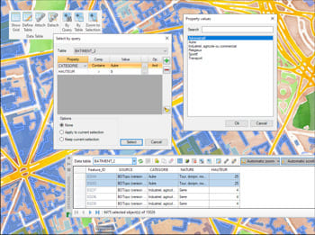
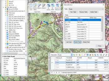
Datentabellen bieten die Struktur zur Verknüpfung von Informationen mit Zeichnungsobjekten. Sie können während des Imports automatisch angehängt oder manuell durch Hinzufügen von Feldern verschiedener Datentypen erstellt werden.
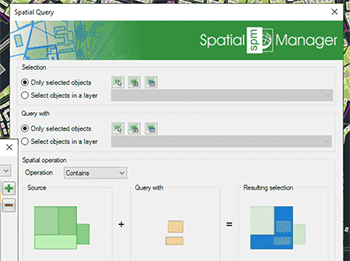
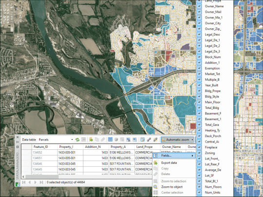
Mit der Datenraster-Palette in GstarCAD können Sie die Objektdaten in einer beliebigen Tabelle in der Zeichnung anzeigen, bearbeiten usw. Sie können auch Objekte aus dem Datenraster auswählen, Daten aus den Tabellen exportieren und vieles mehr
* Nur in der Professional Edition verfügbar
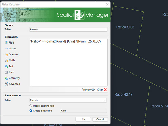
Berechnung in GstarCAD einfacher oder komplexer Ausdrücke mit Hilfe von Operatoren und Funktionen, die auf Feldwerte in einer Tabelle und/oder auf konstante Werte angewendet werden können
* Nur in der Professional Edition verfügbar
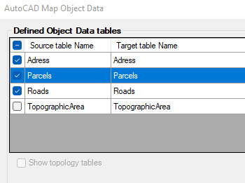
Importieren und konvertieren Sie Daten aus dem AutoCAD Map Format in GstarCAD Extended Entity Data (EDD).
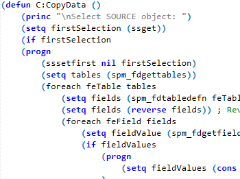
Integration mit Ihren eigenen LISP-Funktionen unter Verwendung der API (Application Programming Interface) zur Erstellung benutzerdefinierter datenbezogener Operationen
* Nur in der Professional Edition verfügbar
